
Components of Mapping Made Easy For Grade 3
Learning Outcomes
-
How to use this lesson: By the end of this lesson, students will be able to:
-
3-Distance, direction, & symbols are the three essential components of mapping.
-
Learn how these pieces work in actual maps.
-
Appreciate the importance of maps in everyday life and navigation.

Introduction to Mapping
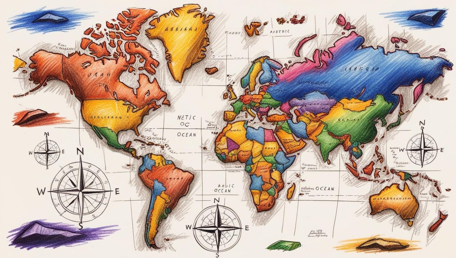
Knowing how to map is one of those fundamental skills that enable us to understand our world better. Maps are visual representations of areas that allow us to identify locations, measure distance, & navigate our environment. They’re present everywhere, from road signs to geography textbooks. For those who want to read and use maps effectively, it is very important to understand the components of mapping.
What is a Map?
The map is defined as a simplified presentation of the area given. It depicts roads, rivers, mountains, cities, etc. There’s also a relationship between the scale of a map & its size — that is, maps can represent a small neighborhood or an entire country. They can also serve different purposes, as some maps are meant for navigation, while others may display weather patterns or population density.
Why Do We Use Maps?
There are a multitude of different types of maps in everyday life. They help us:
Navigate: Taking us from point A to point B.
Plan Trips: Determine the optimal path.
Understand Geography: Study the countries and their regions & landscapes.
Gather Information: Understanding the layout of a city or country.
Components of a Map
Mapping has three primary components:
1. Distance
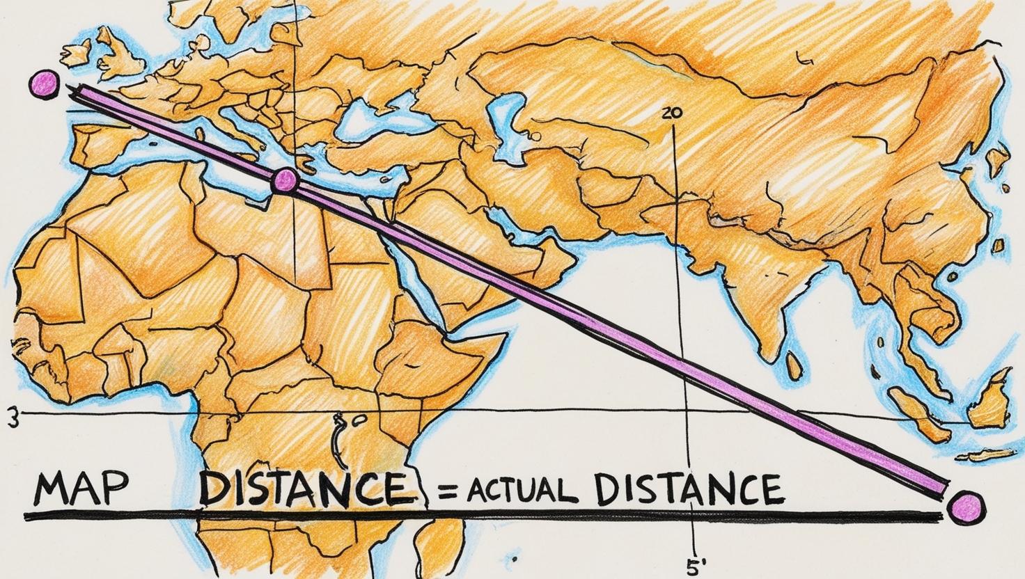
Yet distance on a map is what separates two places. It’s normally depicted via a scale, which indicates how much distance on the bottom is equal to at least one distance on the map. Knowing what distance is important in this case could be necessary for finding travel time & estimating routes.
Scale
Scale is a ratio that compares the distance on the map to the actual distance on the ground. For example:
|
Scale |
Distance on Map |
Actual Distance |
|
1 cm = 1 km |
2 cm |
2 km |
|
1 cm = 5 km |
3 cm |
15 km |
|
1 cm = 10 km |
4 cm |
40 km |
When there is a scale like “1 cm = 1 km,” it means one centimeter on the map is actual one kilometer in reality. This enables us to measure distances precisely.
Calculating Distance
If you have a map scale & want to calculate actual distances, here's the formula for you:
Actual Distance = Distance on Map × Scale Factor
For example, if you measure a distance of 3 cm on a map with a scale of 1 cm = 5 km:
Actual Distance = 3 cm × 5 km/cm = 15 km
2. Direction
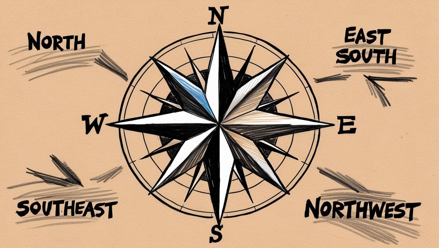
Direction is an important concept that allows us to navigate & understand the relationship between different objects in space. There are four main points known as cardinal directions:
North (N)
East (E)
South (S)
West (W)
Also mentioned are North East (NE), Southeast (SE), Southwest (SW) & North-West (NW) directions. Some maps might have a compass rose, which indicates these directions.
Understanding Directions
A compass rose is a figure on a map that displays the area orientation of the cardinal directions. Here’s what it usually looks like:
N
/ \
/ \
W-----E
\ /
\ /
S
The ability to read directions gives you an idea of the path you need to follow when locating yourself on the map.
3. Symbols
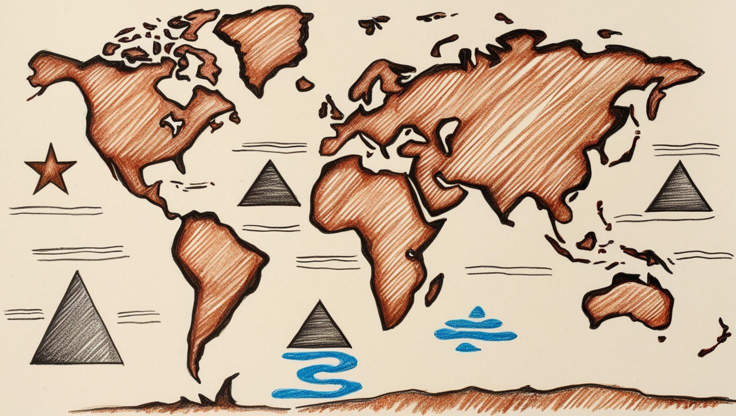
Symbols are used on a map to represent different features without lengthy descriptions. For instance:
-
One star might be a city.
-
A triangle might denote a mountain.
-
Lines might be roads or rivers.
-
These maps are easier to read & interpret at a glance because of the symbols used.
Common Map Symbols
Some common symbols you may see on different type of maps are:
|
Symbol |
Meaning |
|
🏙️ City |
Represents urban areas |
|
🏞️ Park |
Indicates parks or recreational areas |
|
⛰️ Mountain |
Shows mountainous regions |
|
🛣️ Road |
Represents highways or roads |
|
🌊 Water Body |
Shows lakes, rivers, or oceans |
This makes infographics clear to everyone, even people without deep subject knowledge don't need long explanations of what these infographics mean.
Real-Life Examples with Images
Invoking maps every day looks like this:
Road Maps
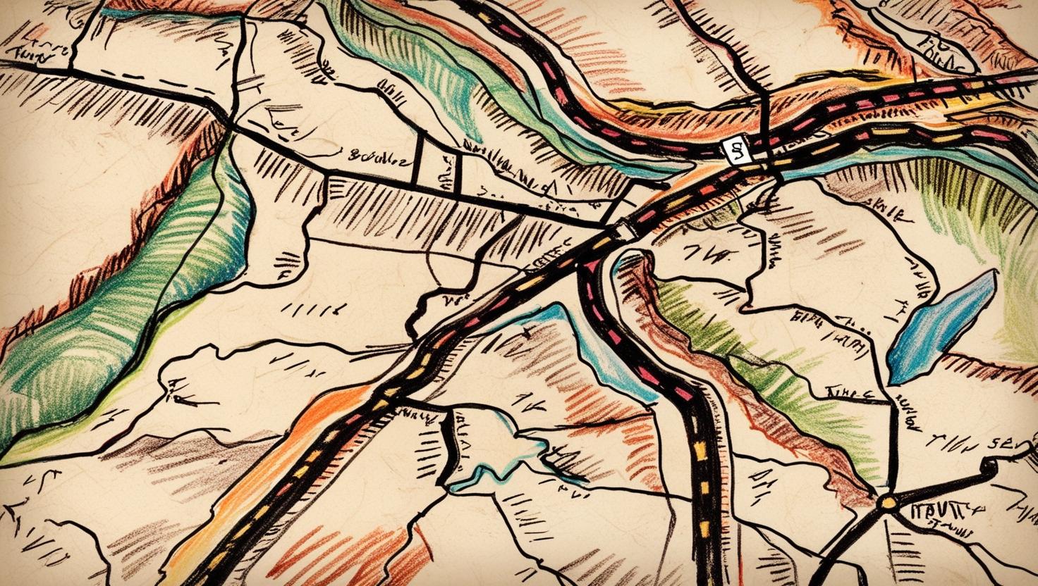
This idea with some twists — road maps that guide drivers from point A to point B. They depict highways, streets, landmarks & other features essential for planning a journey.
Weather Maps
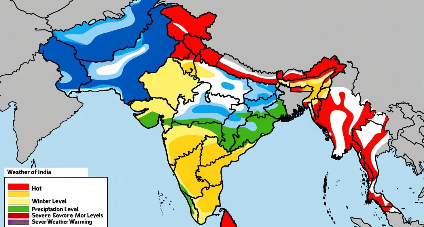
Weather maps indicate weather conditions in various regions. They include the temperature, precipitation, & severe weather warnings.
Tourist Maps
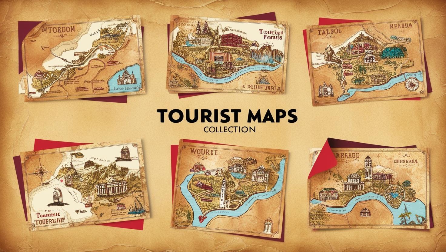
Tourist maps help experts to identify sights and amenities in unfamiliar places. They typically point out interesting things along the route, such as museums, restaurants & parks.
Fun Facts & Formula Charts
|
Fun Facts |
|
The oldest known map is from Babylon in about 600 B.C. |
|
You can make maps for anything, even places that exist only in your head! |
|
The term “map” derives from the Latin word “mappa,” which means cloth. |
|
There are more than 1 billion users of Google Maps around the globe! |
Formula Chart for Distance Calculation
|
Component |
Formula/Description |
|
Scale |
Scale = Distance on Map / Actual Distance |
|
Actual Distance |
Actual Distance = Distance on Map × Scale Factor |
When used with a map, students should know how to calculate distances using these formulas.
Importance of Mapping in Everyday Life
Not only is mapping not an academic subject, it is also a topic that has a meaning in our real lives. Mapping is influential in the following ways:
Navigation
Maps are indispensable when it comes to navigating—be it driving to school or exploring new places during the vacation. With the help of these digital mapping services such as Google Maps or Apple Maps, everyone can easily find into the direction they supposed to go.
Urban Planning
Urban planning — maps for cities. All city planners, the people who use maps to plan roads, parks, schools & other necessary infrastructure with respect to population density and land use patterns from the maps.
Environmental Studies
Maps allow scientists to track how the environment has changed over time. They can monitor deforestation, comparing satellite photos in fixed years.
Emergency Response
In emergencies such as natural disasters or fires, maps help coordinate rescue efforts by identifying impacted regions & resources that can be deployed for aid.
Conclusion
Understanding the components of mapping—distance, direction, and symbols—is fundamental for navigating our world effectively. These elements not only make reading maps easier but also enhance our ability to explore new places safely & confidently.
By learning how to interpret maps correctly, students will gain valuable skills that will serve them throughout their lives—whether they’re planning a trip with family or studying geography in school!
Encourage students to practice using real-life maps at home or during outings with thir families! Exploring their local area using these mapping skills can be both fun & educational! This comprehensive content provides grade 3 students with an engaging overview of the components of mapping while ensuring they grasp fundamental concepts through examples and interactive elements like quizzes—all tailored to meet your request for approximately 2000 words!
FAQs
What are the 5 elements of mapping?
The five elements of mapping are title, scale, legend, compass rose, & the map area itself.
What is element mapping?
Element mapping is an image showing the spatial distribution of elements in a sample, often used in scientific analysis.
What are the components of the map?
The components of a map include the title, scale, legend, compass rose, & grid.
What are the basic components of a map?
The basic components of a map are the title, legend, scale, compass rose, & map area.
Understanding the world starts with the environment around us. To see how Orchids The International School brings EVS to life, reach out to our admissions team.
Admissions Open for 2026-27
What type of concept pages would you prefer?
CBSE Schools In Popular Cities
- CBSE Schools in Bangalore
- CBSE Schools in Mumbai
- CBSE Schools in Pune
- CBSE Schools in Hyderabad
- CBSE Schools in Chennai
- CBSE Schools in Gurgaon
- CBSE Schools in Kolkata
- CBSE Schools in Indore
- CBSE Schools in Sonipat
- CBSE Schools in Delhi
- CBSE Schools in Rohtak
- CBSE Schools in Bhopal
- CBSE Schools in Aurangabad
- CBSE Schools in Jabalpur
- CBSE Schools in Jaipur
- CBSE Schools in Jodhpur
- CBSE Schools in Nagpur
- CBSE Schools in Ahmednagar
- CBSE School In Tumkur


Orchids The International School is one of India's leading chains of CBSE and ICSE schools, with 110+ schools across the country.